“Now the river more resembles a canal — a monotony of barges and ore carriers — than a fabled or mysterious stream; and it flows more like an industrial faucet than a natural river. The old meandering and braided bed has been straightjacketed and streamlined into one main channel. It flows faster and with less variation in its water level than it did in the past. Its banks are now mostly lined with cement, gravel, and wing dams (groynes) instead of oak, elm, and willows... Gone arethe thousands of islands, the braided beds, the snaking curves, the oxbows, the rivulets, the meadowlands, the fishing villages, and other eccentricities that once delighted travelers... German, French, Swish, and Dutch —jointly ‘standing watch’ over thousands of hydrodams, locks, wing dams, harbors, depth meters, and barges. The Rhine, once free, is everywhere enchained.”
“The ‘natural Rhine’ is a prehistoric image. Deforestation from Roman times onwards, aggravated in the late Middle Ages, unleashed erosion and sedimentation processes, that continue until the present day... Virtually all of the Rhine’s lowland forests, meadows and marshes have disappeared over the past 200 years. In 1815, floodplain enveloped around 2,300km2 of the river. This floodplain once formed a single continuous river corridor, varying in width from a few hundred meters to 15km and stretching over 1,000km from Lake Constance to the Delta mouth. By 1975, most of this land had been taken over by farms, pastures, businesses, train tracks, roads and cities. The High Rhine lost 86% of its floodplain, the Upper Rhine 85%, the Middle Rhine 96% and the Lower Rhine 98%. Less than 500 of the original 2,300km2 is still subject to periodic flooding - and even most of that 500km2 is now part of the human-built up environment.”
“On June 16, 2004 the catch of three allis shad in the Large River section of Rhine and Meuse was announced... Publication of the assumed ‘return’ of the allis shad are premature, however. The building of fish traps, the digging of secondary channels, the ‘Room for the river’ projects, and the partial reopening of the Haringvliet sluices offer indeed new changes for migratory fish, but great doubts exist where the allis shad will ever return.”
“Between 1950 and 2000 the reed area in the Delta declined from 12,000 to6,000ha. The reed quality declined also, owing to europhication, the cease ofbrackish water influx (Hollands Diep) and the unnatural, artificial water table (highin summer and low in winter).”
“The most northerly dam in the main course of the Rhine, the Iffezheim dam, was built from 1970 to 1975. In order to restore the migration route of fish a fish pass was built at the Iffezheim dam from 1998 to 2000; this is Europe’s largest fish pass on the Upper Rhine.”
The first known Atlantic salmon to reappear in the Sieg, a tributary of the Rhine,which was once the most important spawning and nursery stream for the Rhine’ssalmon population, is spotted in 1990.
The spill of 30 tonnes of toxic chemicals into the Rhine near Basel at the Sandoz factory was Europe’s worst environmental disaster for a decade. “Within 10 days the pollution had travelled the length of the Rhine and into the North Sea. An estimated half a million fish were killed, and some species were wiped out entirely. There was a public outcry, resulting in the Rhine Action Programme of 1987, sometimes known as “Salmon 2000” because its stated target was to see the return of salmon to the Rhine by the year 2000. The agreement achieved a 50% reduction in pollution by nitrates and phosphorus in the river, and some other types of pollution have been reduced by 80 to 100%. Salmon - known for its sensitivity to water pollution - returned in 1997, three years ahead of schedule.”
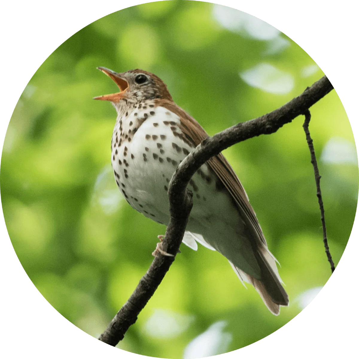
“Of the forty-seven fish species that swam in the Rhine two hundred years ago, only about half of them could still be found there by the 1970s, and many of those survived only because of fish hatcheries. Salmon, shad and sturgeon — the three most important commercial species — had all vanished... The same is true of invertebrate microfauna... In 1915, there were eighty known indigenous species, by 1956 only forty-two, by 1971 only twenty-seven. Several native crab, mussel, and snail species went extinct, their ecological niches taken by species more resistantto salts and pollution. Dozens of bird species disappeared as well. ‘More faunal changes have occurred in the past one hundred fifty years,” noted the biologist Ragner Kinzelbach in 1984, ‘than in the previous ten thousand years.’”
“The Emscher and Erft have been turned into open-air sewers in the 1970s, whilethe Lippe has has become the main feeder stream for the region’s canal network.The Rhine, meanwhile, functioned as the ultimate dump, gathering coal residues,petrochemicals and other industrial wastes and ‘exporting’ them downstream tothe Dutch delta. Urban congestion exacerbated the problem, for the Lower Rhineis home to the agglomeration of cities that make up the Rhine-Ruhr region. Thelower Rhine and its tributaries, especially the Erft and Emscher, were among themost polluted river systems of Europe.”
“The Netherlands government — as the primary recipient of upstream pollution and floodwater — was the driving force behind this new organization. France, Germany, Luxembourg, and Switzerland joined the Netherlands as charter members, and the European Community joined as a contracting party in 1976.


Learn about Maya Lin’s fifth and final memorial: a multi-platform science based artwork that presents an ecological history of our world - past, present, and future.
Discover ecological histories and stories of former abundance, loss, and recovery on the map of memory.
Learn how we can reduce our emissions and protect and restore species and habitats – around the world.

See how art can help us rethink the problems we face, and give us hope that each one of us can make a difference.

Help make a global memorial something personal and close to home. Share your stories of the natural world.